|
Many thanks for permission to use graphics from their software and toposheets |
|
|
page 5 Waiheke IslandTo OnetangiAlong the way a little from the Awaawaroa Road bus stop, the road begins to climb steadily towards Onetangi. Today we have plenty of water with us, and just as well as it's a bit warmer, especially out in the open.
Fortunately, at this stage we cannot see the full extent of the hill. It reveals itself to us a little at a time.
As we get further up, we get some great views across to the hills, where traces of the morning fog still cloak the tops. The foreground is distinctive and characteristic: gorse and tobacco weed.
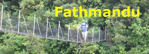
It's a long hill and it's getting hot. I'm glad of that extra water with us; though, considering my exhaustion last night, I'm in not bad shape. So much for pedestrians on the right of the road, we are concerned to be on the side that gives motorists the longest time possible to catch sight of us, which, given the speed of the average motorist, is still not very long.
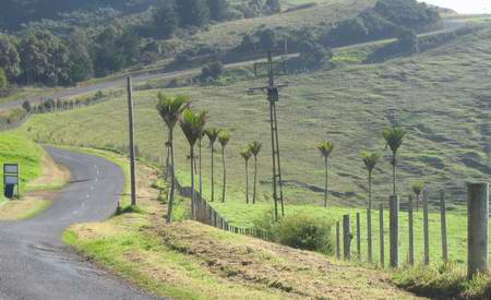
The road dips slightly and grinds on up again. Nikau have featured a number of times in the landscape this trip, but this piece of landscaping has me curious about the motives that prompted it.
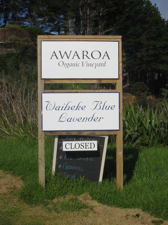
Awaroa translates approximately as Rio Grande. It's a common enough place-name in New Zealand where considerations of scale are fairly relative. Awaroa is also the Maori name for Helensville. Awaawaroa, the Ecovillage we have come from, would translate as "long rivers", as far as I can tell.
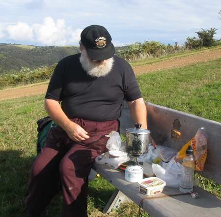
We carry on to the top and find one of those marvellous benches you can spread all over and eat lunch while admiring the view.
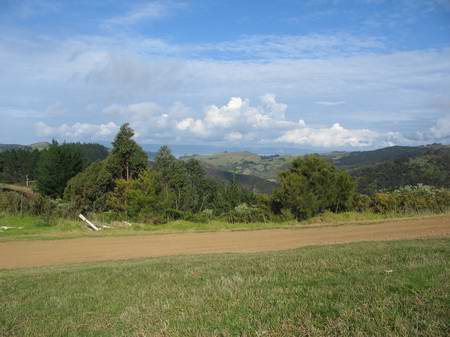
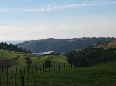
At the top of the hill there's an open space and views all around. We can look down on the sea where we have come from this morning . The lighter patch to the left of the totara in the middle of the picture is the valley of tobacco weed just across from Linda's house. From here, a walking track leads across to Trig Hill Rd, part of the cross-island walkway system. We will probably hit it next time we come over. As we are organising lunch Linda's car pulls up on her way over to the caravan to do some work. We arrange to meet at Onetangi in an hour or so.
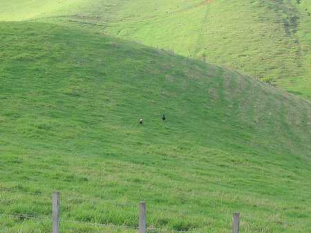
Across the road and along a bit the countryside to the right is a beautiful example of NZ hillfarm. A couple of paradise ducks graze the pasture. Either these are relatively common on Waiheke or the same bloody pair is following us around.
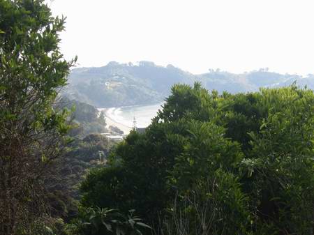
There are spots along this ridge where you can see the sea on both sides of the island. Here we are looking down on a bay just around from Onetangi.
I'm not sure but I think this is Whakanewha Bay on the South Coast I am looking at on the other side of the ridge.
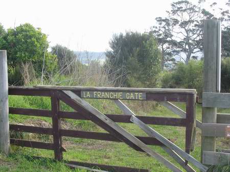
On the left, at several points, walking tracks depart for Trig Hill Rd on the other side of the Forest and Bird Reserve. The road is now comfortably downhill, and with lunch on board I am swinging along in good spirits. I presume the name refers to a local family. Somehow appropriate that a name deriving from FRANCHIR, to cross, or pass through, or get over, should wind up on a gate.
|
|